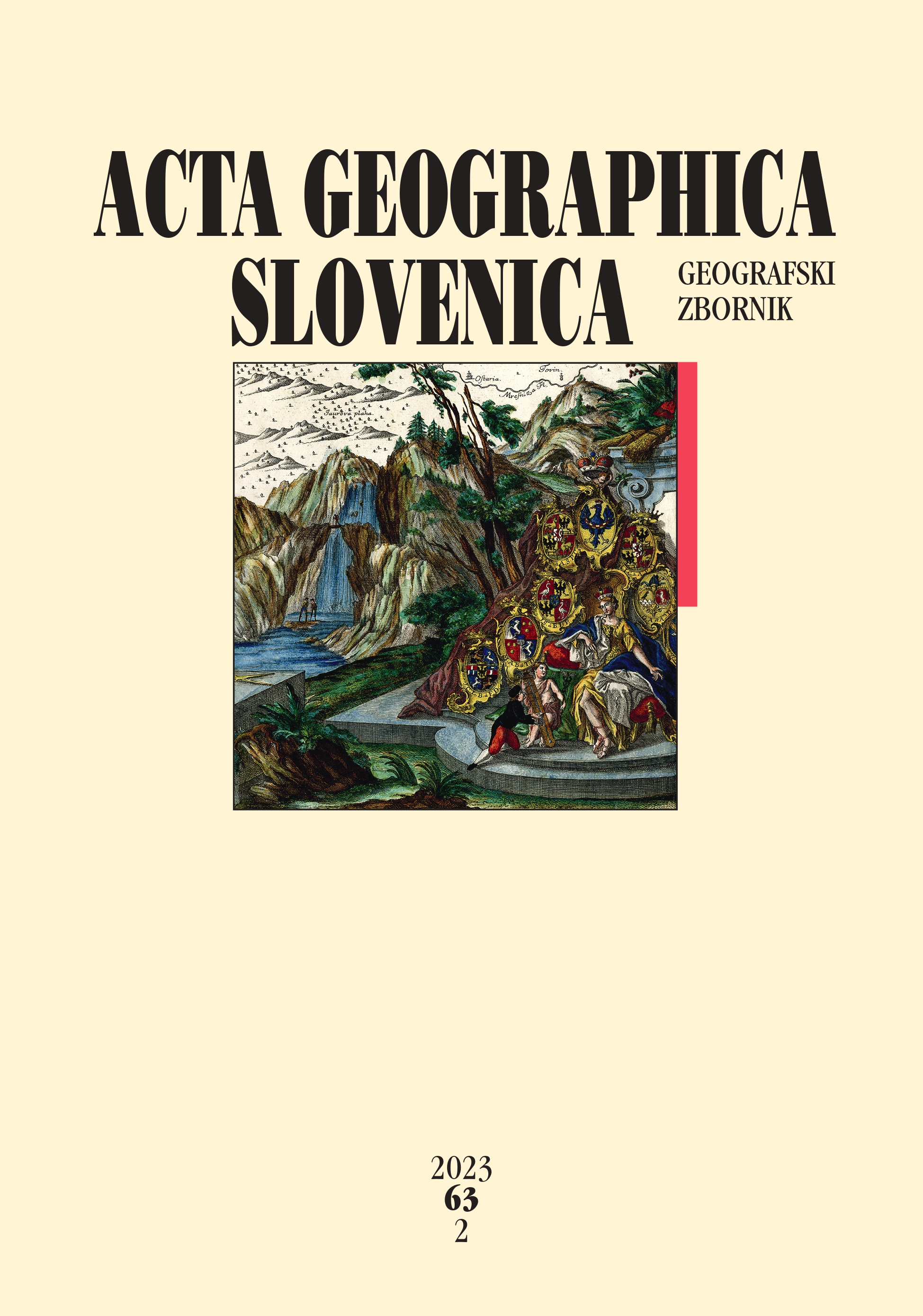
A new standardized methodology for analyzing cartographic information on old maps
DOI:
https://doi.org/10.3986/AGS.10867Keywords:
cartographic methodology, old map, cartographic element, cartographic symbolAbstract
This article presents a new methodology for analyzing old maps that was used to identify and interpret cartographic symbols on selected maps. It analyzes fifty-eight maps, originating from the sixteenth to nineteenth centuries and showing the territory of Slovenia. The basic criteria for selecting the maps were authorship, scale, and the territory depicted. The study included maps at a medium scale of 1:200,000 to 1:900,000. Approximately eighty entries were made for each map, and several thousand pieces of data were obtained, which then required a uniform and systematic examination of all cartographic symbols on the maps selected. Before the nineteenth century, changes in symbols for vegetation, relief, transport networks, and explanatory elements were the most evident. The article concludes by highlighting the reliability of cartographic content as a source for research. The new method for examining maps makes it easier to determine the cause-and-effect relationship of cartographic elements to map content.
Downloads
References
Bertin, J. 1981: Graphics and graphic information-processing. Berlin, New York.
Bönisch, F. 1967: The geometrical accuracy of 16th and 17th century topographical surveys. The International Journal for the History of Cartography 21-1. DOI: https://doi.org/10.1080/03085696708592300
Chiang, Y-Y., Duan, W., Leyk, S., Uhl, J. H., Knoblock. C. A. 2020: Using historical maps in scientific studies. Applications, challenges, and best practices. Cham. DOI: https://doi.org/10.1007/978-3-319-66908-3
Delano-Smith, C. 2007: Signs on printed topographical maps, ca. 1470–ca. 1640. The History of Cartography, Volume 3: Cartography in the European Renaissance. Chicago, London.
Ekman, S. 2013: Here be dragons: Exploring fantasy maps and settings. Middletown.
Frajer, J., Geletič, J. 2011: Research of historical landscape by using old maps with focus to its positional accuracy. Dela 36. DOI: https://doi.org/10.4312/dela.36.49-67
Fridl, J. 1999: Metodologija tematske kartografije nacionalnega atlas Slovenije. Geografija Slovenije 2. Ljubljana.
Fridl, J., Urbanc, M. 2006: Sporočilnost zemljevidov v luči prvega svetovnega atlasa v slovenskem jeziku. Geografski vestnik 78-2.
Gašperič, P. 2007: Cartographic images of Slovenia through time. Acta geographica Slovenica 47-2. DOI: https://doi.org/10.3986/AGS47205
Gašperič, P. 2010: The 1812 map of the Illyrian provinces by Gaetan Palma. Acta geographica Slovenica 50-2. DOI: https://doi.org/10.3986/AGS50205
Gašperič, P., Komac, B. 2019: Remapping fictional worlds: A comparative reconstruction of fictional maps. The Cartographic Journal 57-1. DOI: https://doi.org/10.1080/00087041.2019.1629168
Gestrin, F. 1991: Slovenske dežele in zgodnji kapitalizem. Ljubljana.
Harley, J. B., Woodward, D. 1987: Preface. The History of Cartography 1: Cartography in Prehistoric, Ancient, and Medieval Europe and the Mediterranean. Chicago, London.
Höck, J., Leitner, F. W. 1984: Kärnten in alten Landkarten bis 1809: Ausstellung anläßlich der 100-Jahr-Feier des Landesmuseums für Kärnten 1884–1984. Klagenfurt.
Holz, E. 1994: Razvoj cestnega omrežja na Slovenskem ob koncu 18. in v 19. stoletju. Ljubljana.
Kladnik, D., Lovrenčak, F., Orožen Adamič, M. (eds.) 2005: Geografski terminološki slovar. Ljubljana.
Komac, B. 2009: Social memory and geographical memory of natural disasters. Acta geographica Slovenica 49-1. DOI: https://doi.org/10.3986/AGS49107
Kosi, M. 1998: Potujoči srednji vek. Ljubljana.
Lovrić, P. 1988. Opća kartografija. Zagreb.
Maps and Cartography, 2015. GIS research & map collection. Maps tutorial: The elements of a map. Ball State University Libraries. Internet: http://www.bsu.edu/libraries/collections/gcmc/tutorials/pdfs/mapscartographymapelements.pdf (16. 5. 2022).
Markoski, B. 2018: Basic principles of topography. Cham. DOI: http://dx.doi.org/10.1007/978-3-319-72147-7
Marković, M. 1993: Descriptio Croatiae. Hrvatske zemlje na geografskim kartama od najstarijih vremena do pojave prvih topografskih karata. Zagreb.
Molnár, G., Podobnikar, T., Timár, G. 2009: Mosaicking the 1:75,000 maps of the third military survey of the Austro-hungarian empire. Geodetski vestnik 53-3.
Monmonier, M. 1996: How to lie with maps. Chicago, London.
Oxford Learner's Dictionaries. 2022. Internet: https://www.oxfordlearnersdictionaries.com/definition/english/element?q=element (8. 6. 2022)
Pedley, M. S. 1992: Bel et utile: The work of the Robert de Vaugondy family of mapmakers. Tring.
Peterca, M., Radošević, N., Milisavljević, S., Racetin, F. 1974: Kartografija. Beograd.
Petrovič, D. 2010: Topografija in kartografija. Internet: https://vdocuments.mx/topografija-in-kartografija.html (17. 5. 2022).
Robinson, A. H., Morrison, J. L., Muehrcke, P. C., Kimerling, A. J., Guptill, S. C. 1995: Elements of cartography. New York.
Rojc, B. 1990: Kartografsko delo Janeza Vajkarda Valvasorja. Valvasorjev zbornik. Ljubljana.
Slovar slovenskega knjižnega jezika. ZRC SAZU. Ljubljana, 2014.
Šorn, J. 1979: Zanimivosti z naših cest v 18. stoletju. Kronika. Časopis za slovensko krajevno zgodovino 27.
Štular, B. 2010: Jožefinski vojaški zemljevid kot vir za preučvanje preteklih pokrajin. Geografski vestnik 82-1.
The history of cartography project. Internet: https://geography.wisc.edu/histcart/ (4. 3. 2022).
Timár, G., Molnár, G., Székely, B., Biszak, S., Varga, J., Jankó, A. 2006: Digitized maps of the Habsburg Empire. The map sheets of the second military survey and their georeferenced version. Budapest. DOI: https://doi.org/10.13140/2.1.1423.7127
Urbanc, M, Fridl, J., Kladnik, D., Perko, D. 2006: Atlant and Slovene national consciousness in the second half of the 19th century. Acta geographica Slovenica 46-2. DOI: https://doi.org/10.3986/AGS46204
Vrišer, I. 1998: Uvod v geografijo. Ljubljana.
Wallis, H. M., Robinson, A. H. (eds.) 1987: Cartographical innovations. An international Handbook of Mapping Terms to 1900. Tring, Herts.
Zorn, M. 2007: Jožefinski vojaški zemljevid kot geografski vir. Geografski vestnik 79-2.
Zorn, M., Breg Valjavec, M., Ciglič, R. 2018: Kartografski viri in viri daljinskega zaznavanja ter njihova uporabnost za spremljanje dinamike rečnega toka: na primeru mejnih odsekov Drave in Dragonje. Ustvarjanje slovensko-hrvaške meje. Vpogledi 19. Ljubljana.
Zorn, M., Gašperič, P. 2016: Geografska dediščina – sedem desetletij Zemljepisnega muzeja. Geografski vestnik 88-1. DOI: https://doi.org/10.3986/GV88106
Zwitter, Ž. 2014: Od zgodnjega kapitalizma do konca prve svetovne vojne. Ceste na Slovenskem skozi čas 1. Ljubljana.
Downloads
Published
How to Cite
Issue
Section
License
Copyright (c) 2023 ZRC SAZU Anton Melik Geographical Institute

This work is licensed under a Creative Commons Attribution-NonCommercial-NoDerivatives 4.0 International License.


