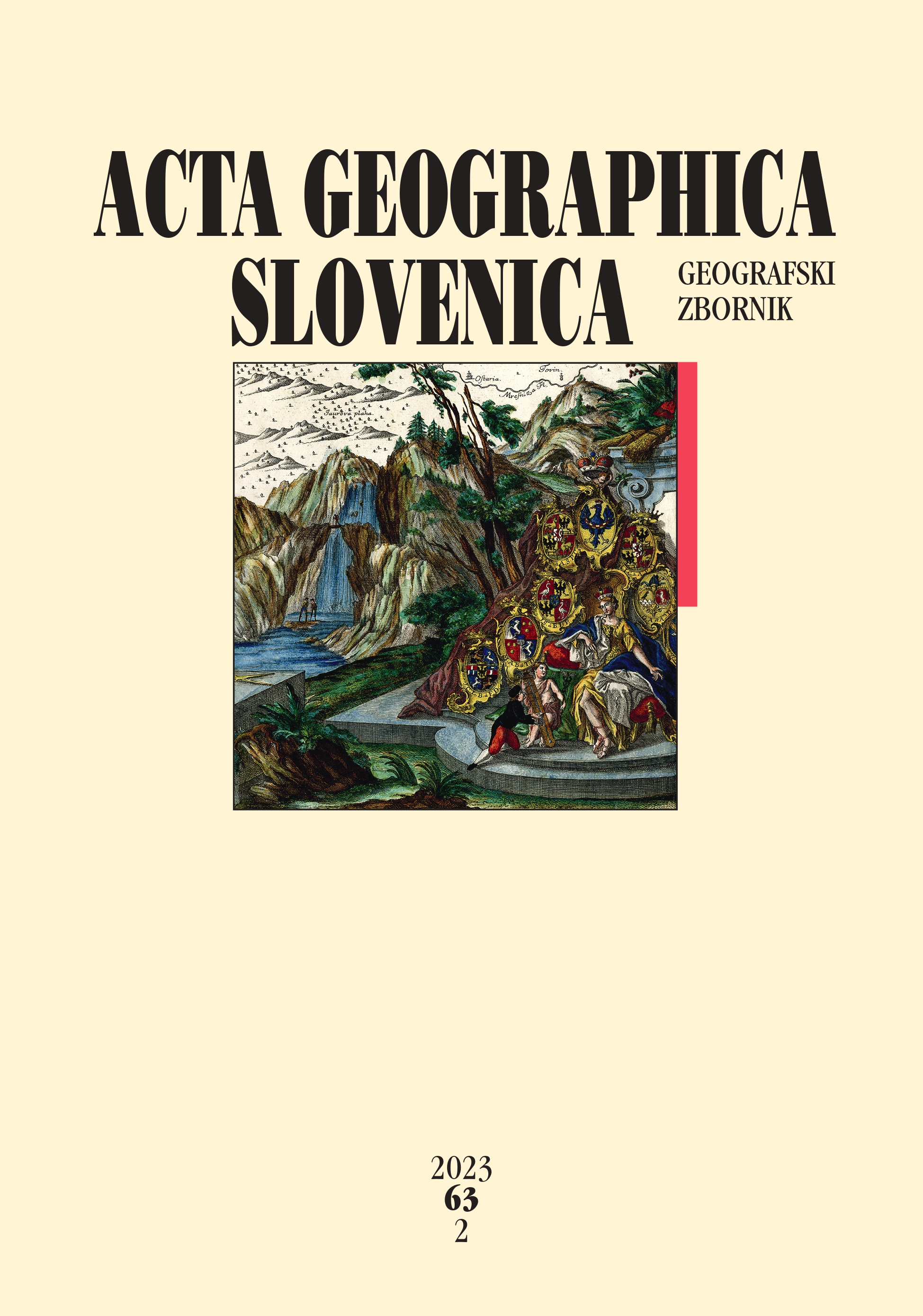
The semiotics of cartographic symbols on old maps
DOI:
https://doi.org/10.3986/AGS.10930Keywords:
geography, semiotics, cartographic element, map, history of cartography, SloveniaAbstract
This study analyzed selected cartographic symbols on old maps depicting the territory of Slovenia from the sixteenth to nineteenth century. A semiotic approach was applied to establish connections between cartographic symbols on old maps and the characteristics of society at the time the maps were created. This semiotic approach was used to discuss the impact of the interpretation of four symbolic cartographic elements, their iconic basis, and the reading of the five maps analyzed. Cartographic symbols changed in line with the development of cartography at the time, as well as society. The depictions of settlements were first stylistic and then geometric. Relief depictions were first stylized and then shown through plastic or spatial methods. Cartographic symbols gradually changed into symbolic signs (in the semiotic sense), including the quality of the map display, as a result of developments and the demands of changing society.
Downloads
References
Delano-Smith, C. 2007: Signs on printed topographical maps, ca. 1470–ca. 1640. The History of Cartography 3: Cartography in the European Renaissance. Chicago, London.
Eco, U. 1976: Theory of Semiotics. Indiana, Bloomington.
Gašperič, P. 2010: O Zemljevidu Ilirskih provinc avtorja Gaetana Palme iz leta 1812. Acta geographica Slovenica 50-2. DOI: https://doi.org/10.3986/AGS50205
Gašperič, P. 2022: Zgodovinska kartografija ozemlja Slovenije. Geografija Slovenije 37. Ljubljana.
Gašperič, P. 2023: A new standardized methodology for analyzing cartographic information on old maps. Acta geographica Slovenica 63-2. DOI: https://doi.org/10.3986/AGS10.867
Gašperič, P., Perko, D., Zorn, M. 2018: Cartographic presentations of borders on old maps of Slovenia. Acta Geobalcanica 4-2. DOI: https://doi.org/10.18509/AGB.2018.08
Grafenauer, B. 1960: Struktura in tehnika zgodovinske vede: Uvod v študij zgodovine. Ljubljana.
International Cartographic Association 2003: A Strategic Plan for the International Cartographic Association 2003-2011. Durban. Internet: https://icaci.org/files/documents/reference_docs/ICA_Strategic_Plan_2003-2011.pdf (21. 6. 2022).
Kladnik, D. 2001: Geografija. Tržič.
Kladnik, D., Lovrenčak, F., Orožen Adamič, M. (eds) 2005: Geografski terminološki slovar. Ljubljana.
Krušič, M. (ur.) 1982: Leksikoni Cankarjeve založbe – geografija. Ljubljana.
Logar, E. 2019: Primerjalna analiza učinkov druženja in sodelovanja v prostovoljnih gasilskih društvih na primerih podeželskih skupnosti z Gorenjske in Sauerlanda. Geografski vestnik 91-2. DOI: https://doi.org/10.3986/GV91202
Nöth, W. 1998: Cartosemiotcs and the cartographic sign (Peirce, symbols, icons, maps). Zeitschrift für Semiotik 20-1,2. Internet: https://www.researchgate.net/publication/298943189_Cartosemiotcs_and_the_cartographic_sign_Peirce_symbols_icons_maps (30. 5. 2022).
Peirce, C. S. 1931-1958: The Collected Writings (8 Vols.). (Ed. Charles Hartshorne, Paul Weiss & Arthur W. Burks). Cambridge.
Perko, D. 2001: Analiza površja Slovenije s stometrskim digitalnim modelom reliefa. Geografija Slovenije 3. Ljubljana.
Perko, D., Zorn, M., Ciglič, R., Breg Valjavec, M. 2019: Changing river courses and border determination challenges: The case of the Slovenian–Croatian border. Geospatial Challenges in the 21st Century. Cham.
Peterca, M., Radošević, N., Milisavljević, S., Racetin, F. 1974: Kartografija. Beograd.
Podobnikar, T., Kokalj, Ž. 2007: Analiza zgodovinskega kartografskega gradiva Triglavskega narodnega parka. Geografski vestnik 79-2.
Razpotnik Visković, N. 2021: Gastronomy as a social catalyst in the creative place-making process. Acta geographica Slovenica 61-1. DOI: https://doi.org/10.3986/AGS.9409
Rumsey, D., Williams, M. 2002: Historical maps in GIS. Past Time, Past Place: GIS for History. Redlands.
Saussure, F. de, [1916] 1974: Course in General Linguistics, trans. W. Baskin, London.
Schlichtmann, H. 1985: Characteristic traits of the semiotic system 'Map Symbolism'. The Cartographic Journal 22-1. DOI: https://doi.org/10.1179/caj.1985.22.1.23
Schlichtmann, H. 2009: Overview of the semiotics of maps, Proceedings of the 24th International Cartographic Conference. Santiago. Internet: https://icaci.org/files/documents/ICC_proceedings/ICC2009/html/refer/30_1.pdf (7.3.2022).
Schlichtmann, H. 2008. Cartosemiotics. URL: http://www.semioticon.com/seo/C/cartosemiotics.html (7. 3. 2022)
Slukan Altić, M. 2003: Povijesna kartografija – kartografski izvori u povijesnim znanostima. Samobor.
Štular, B 2010: Jožefinski vojaški zemljevid kot vir za preučevanje preteklih pokrajin. Geografski vestnik 82-1.
Wood, D., Fels, J. 1986: Designs on signs / Myth and meaning in maps. Cartographica: The International Journal for Geographic Information and Geovisualization 23-3. DOI: https://doi.org/10.3138/R831-50R3-7247-2124
Zorn, M. 2007: Jožefinski vojaški zemljevid kot geografski vir. Geografski vestnik 79-2.
Zorn, M., Breg Valjavec, M., Ciglič, R. 2018: Kartografski viri in viri daljinskega zaznavanja ter njihova uporabnost za spremljanje dinamike rečnega toka: na primeru mejnih odsekov Drave in Dragonje. Ustvarjanje slovensko-hrvaške meje. Vpogledi 19. Ljubljana.
Zorn, M., Ciglič, R., Gašperič, P. 2020: Državne meje na ozemlju Slovenije med drugo svetovno vojno na podlagi kartografskega gradiva okupacijskih sil. Okupacijske meje v Sloveniji 1941–1945. Historia 32.
Downloads
Published
How to Cite
Issue
Section
License
Copyright (c) 2023 ZRC SAZU Anton Melik Geographical Institute

This work is licensed under a Creative Commons Attribution-NonCommercial-NoDerivatives 4.0 International License.


