Land Cover Mapping Using Landsat Satellite Image Classification in the Classical Karst - Kras Region
DOI:
https://doi.org/10.3986/ac.v36i3.177Povzetek
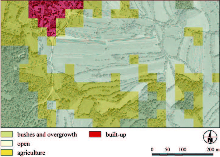
Such a diverse and sensitive eco-region as Karst needs to be managed with special attention and consideration of its natural and cultural resources. Land cover is an important indicator, which enables the analysis of their condition and development monitoring. Advanced satellite images classification represents an accurate and cost-effective alternative to the classical techniques of land cover mapping. The methods used to produce a reliable land cover map are presented in this paper. The complexity of the area requires a combination of various data such as Landsat satellite images, digital elevation model, digital orthophotos as well as existing topographic and thematic maps. The maximum likelihood algorithm was used as the main classifier and the accuracy of results was further improved by fuzzy classification, altitude and inclination filtering and auxiliary data integration.
Prenosi

Prenosi
Objavljeno
Kako citirati
Številka
Rubrike
Licenca
Avtorji jamčijo, da je delo njihova avtorska stvaritev, da v njem niso kršene avtorske pravice tretjih oseb ali kake druge pravice. V primeru zahtevkov tretjih oseb se avtorji zavezujejo, da bodo varovali interese založnika ter da bodo povrnili morebitno škodo.
Podrobneje v rubriki: Prispevki


