Geomorphological Characteristics of the Italian Side of Canin Massif (Julian Alps) using Digital Terrain Analysis and Field Observations
DOI:
https://doi.org/10.3986/ac.v40i2.10Abstract
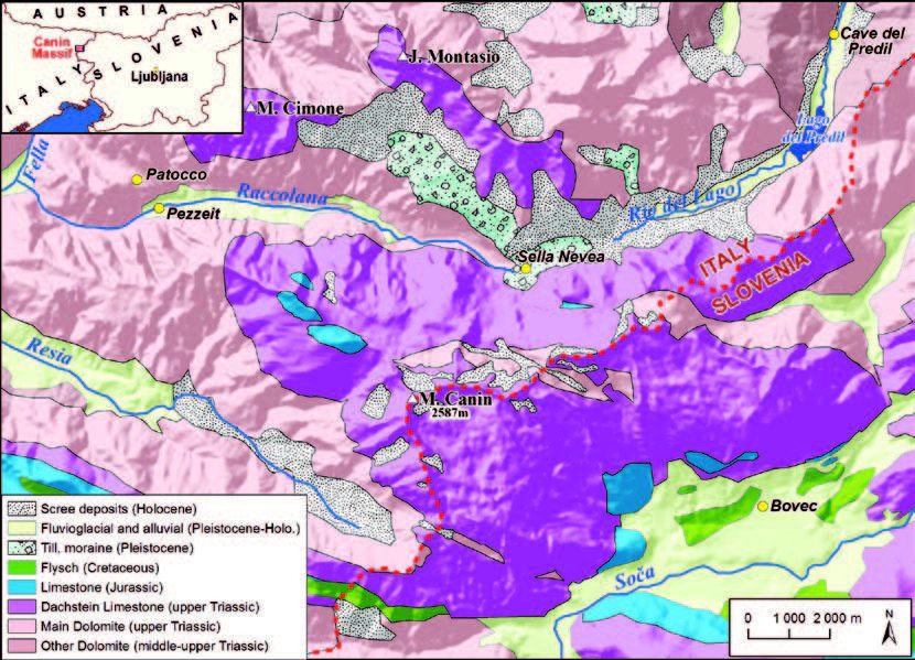
In this paper, by the example of Canin Massif, it is demonstrated, how GIS-techniques can be used for the study of high mountain karst terrains. In case of Canin, elevation and slope histograms show characteristic differences in plateau levels and landforming processes between the northern, western and southern sectors of the mountains. Ridge and valley map (derived from the digital elevation model) and thalweg analysis are used to recognize drainage reorganizations north of the Italian Canin plateau. Potential snow accumulation locations and nunataks are determined based mainly on the slope map. Geomorphological sketch maps and statistical analysis of closed depressions are also carried out in this study supporting the relatively young age of superficial karstification and the strong structural impact. Finally, it is concluded, that quantitative and visual capabilities of GIS are useful in discriminating the effects of glacial, fluvial, structural and karst processes.
Downloads

Downloads
Published
How to Cite
Issue
Section
License
Authors guarantee that the work is their own original creation and does not infringe any statutory or common-law copyright or any proprietary right of any third party. In case of claims by third parties, authors commit their self to defend the interests of the publisher, and shall cover any potential costs.
More in: Submission chapter


